
What’s New in R: August 17, 2026
Welcome to this week's edition of What's New in R! This week, we're featuring a rundown of your options for collaborating on Quarto documents, a tool that lets non-technical collaborators edit those documents in a Word-like interface, and some thoughtful reflections on the state of geocomputation with R. Let's dive in!
Collaborating on Quarto documents
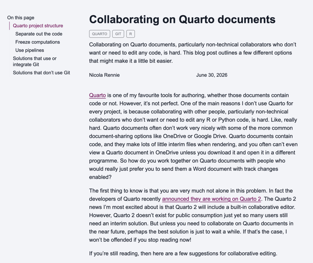
Nicola Rennie tackles a problem a lot of us run into: how do you collaborate on a Quarto document with people who don't write code? She lays out the landscape of options, splitting them into Git-based approaches (GitHub Desktop, Overleaf, Quartorium, HackMD) and non-Git ones ({trackdown}, VS Code Live Share, ArchieML), along with project-structure tips like separating code from prose and leaning on freeze. Honestly, there isn't one clearly great answer yet, and she notes that Quarto 2's built-in collaborative editor may eventually be the real fix. But if you're wrestling with this right now, it's a helpful overview of what's actually out there.
Quartorium
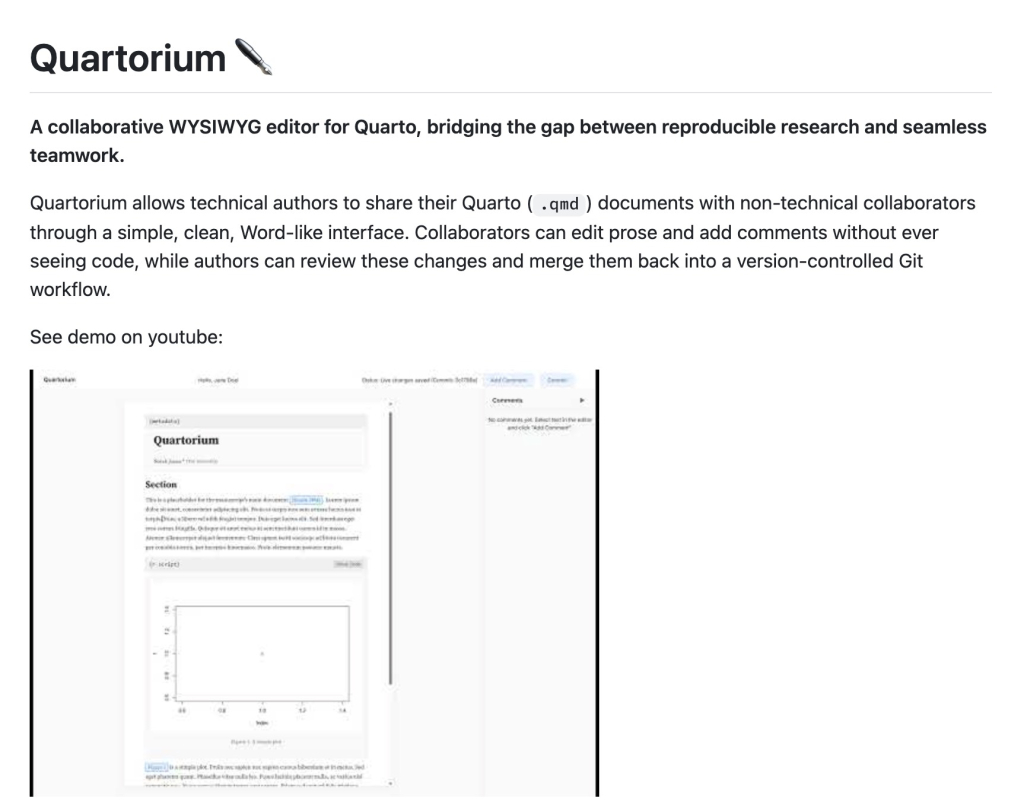
Quartorium, created by Anders Hagen Jarmund, is one of the tools Nicola Rennie mentions in her collaboration roundup, and it takes an interesting approach to the non-technical-collaborator problem. It gives your collaborators a Word-like WYSIWYG interface through a shared link, hiding the code chunks entirely so they only see and edit the prose alongside your rendered plots and tables. Behind the scenes, every edit is committed to its own Git branch, so you keep a full audit trail and can review, accept, or reject suggestions, with inline commenting for discussion. If you've wanted a way to let subject-matter experts contribute to a Quarto document without ever touching the code, this is well worth a look.
A world still to be mapped
In this talk, Jakub Nowosad reflects on the state of geocomputation with R, celebrating how far the geospatial ecosystem has come with packages like {sf}, {terra}, and {stars} while being honest about where the hard problems remain. His central point is that a very accurate model can still fail in exactly the places we care about, and that a beautiful map can mislead, so we need evaluation methods that account for that rather than just headline model performance. He argues that tools alone aren't enough: field data, domain expertise, careful validation, and honest communication all matter just as much. It's a nice overview of where things stand in R and geospatial analysis, and a thoughtful reminder that the work is about more than the code.
If you enjoyed this issue of What’s New In R, please share it with a friend! And if they want to get What’s New in R directly in their inbox, they can sign up on the R for the Rest of Us website.
Got any ideas for resources I should feature in future issues of What’s New in R? Leave a comment below!
Sign up for the newsletter
Get blog posts like this delivered straight to your inbox.



You need to be signed-in to comment on this post. Login.