When you think of making maps, you probably think of complicated, expensive tools like ArcGIS. What if I told you that you could make maps with R, a tool you already know how to use?
You don’t need to invest hours and hours learning a completely new tool. And you don’t need to invest hundreds or thousands of dollars for a license to use that tool.
In recent years, R has become a fully-fledged tool for doing geospatial work. You can clean, wrangle, and analyze geospatial data with R. And of course, you can make maps with it.
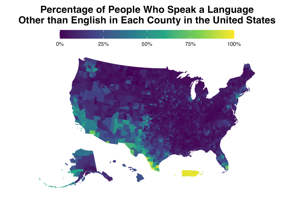
Not just any maps. Beautiful maps like these.
Mapping with R will help you do all of this. You’ll learn the fundamentals of working with geospatial data in R. You’ll learn to create high-quality static maps. You'll learn how to make interactive maps. And much, much more.
Don’t waste your time and your money learning to make maps in other tools. R is a fully-fledged map making tool that is just waiting for you to use it. Get started today and you’ll be making maps in R in no time.